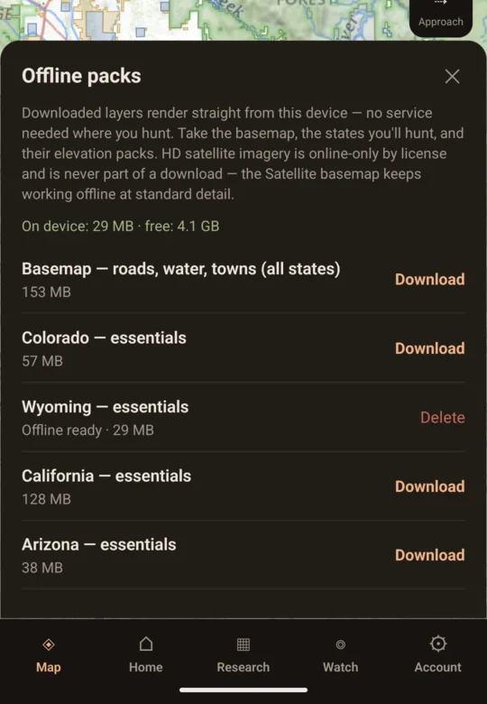
Offline map packsPro
Whole-state packs: boundaries, ownership, roads, elevation, terrain, landcover. Labels included. No signal needed.
The app · Android
The same map and the same account as openhuntmaps.com, on the phone you carry into the unit. Free account required; Pro ($49/yr, bought on the web) unlocks offline pack downloads.
OpenHunt is an independent app, not a government agency, and is not affiliated with or endorsed by any government entity. Land, boundary, season and draw information is reproduced from public government records — see every source.


Scan to put it on your phone.
What only the phone can do
Whole-state packs: boundaries, ownership, roads, elevation, terrain, landcover. Labels included. No signal needed.
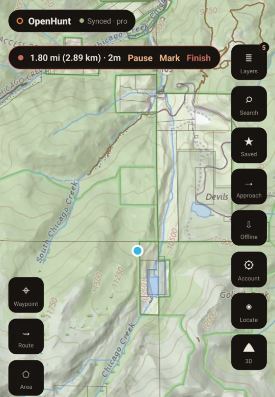
Records with the screen off and survives a crash. Lands in your hunt history on the phone — on every device with Pro.
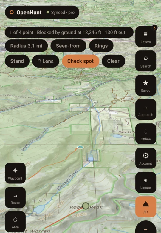
What is visible from any point, corrected for the curve of the earth, from a downloaded elevation pack.
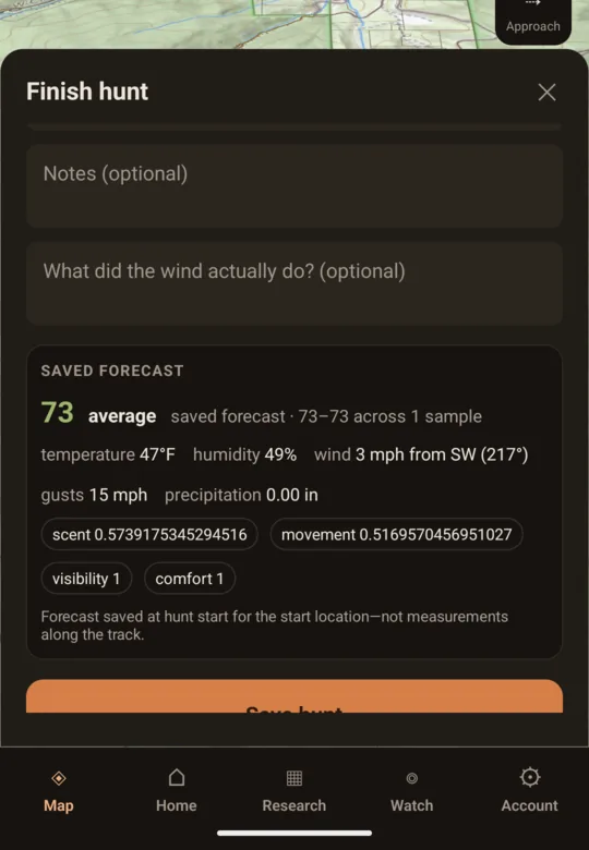
Start a hunt and the forecast at your start point is saved with it. Deadlines and next moves ride along.
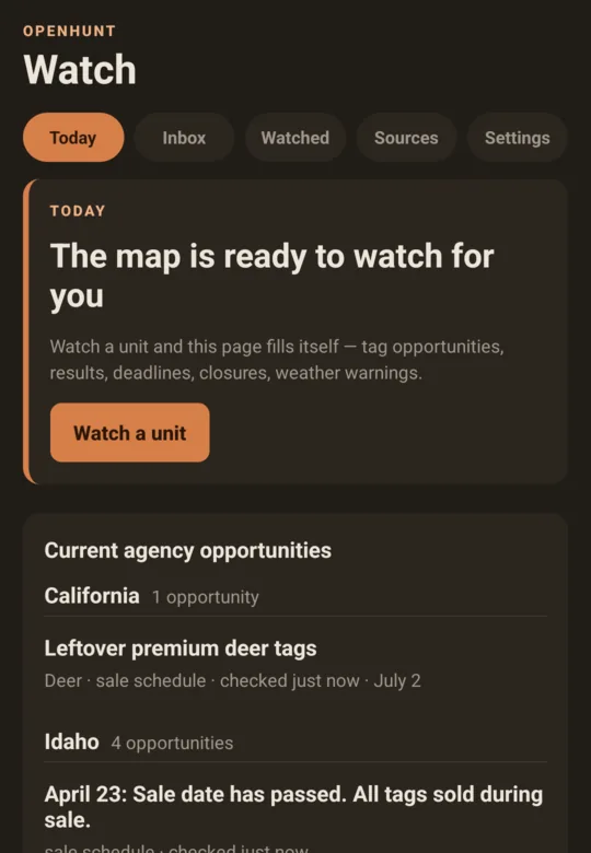
Agency and conditions alerts as notifications, not another tab.
Also in the app
What you need
Direct link: play.google.com/store/apps/details?id=sh.openhunt.app
iPhone
The Android app shipped first. If you hunt with an iPhone, leave an address: you’ll get one email when the iPhone app is on the App Store, and nothing else.