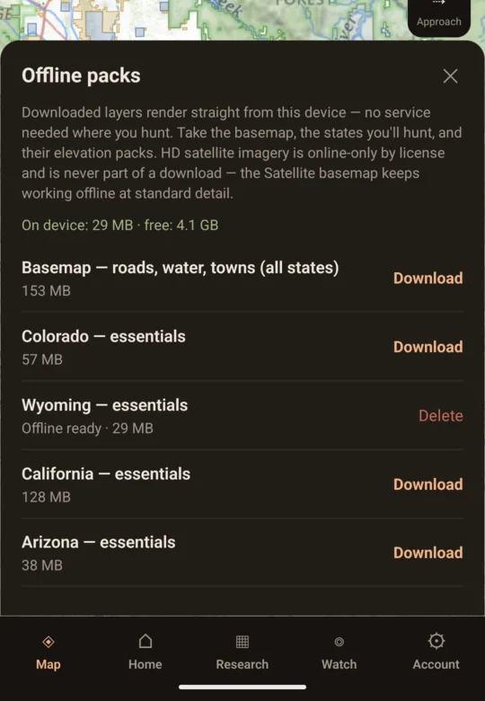
Offline map packsPro
Whole-state packs: boundaries, ownership, roads, elevation, terrain, landcover. Labels included. No signal needed.
One hunt plan · application to pack-out
Compare hunts, read the terrain, build a wind-safe approach, and know when conditions line up—without stitching together three subscriptions.
Free on the webNo account to startBuilt from public data
Keeping marks or watching a unit? Create a free account →
LIVE COVERAGE · COUNTED FROM WHAT SHIPS
One plan, three decisions
OpenHunt keeps the research, the route, and the weather together, so each decision starts with what you already learned.
Compare your odds at your point level against season dates, tag quotas, harvest, hunter density, public land, access, and cost. Every number links back to the agency source and the formula behind it.
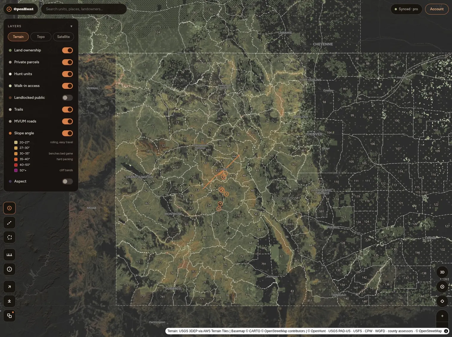
See ownership, parcel owners, hunt units, landlocked public ground, trails, motor-vehicle access, water, burns, timber, slope, aspect, viewshed, and 3D terrain together.
Turn forecasts into a field decision. OpenHunt reads wind, thermal drift, pressure, moon, radar, smoke, snow, fire, lightning, and your approach bearing without pretending wildlife is a black-box score.
APPROACH READ Your scent stays below the north bench through first light.
My Season + Watch
Save a plan once. OpenHunt carries the point balances, application outcomes, deadlines, trips, closures, opportunities, and changing conditions through the rest of your season.
The Android app · on Google Play
Same map, same account. Then the things only a phone in your pocket can do.
Whole-state packs: boundaries, ownership, roads, elevation, terrain, landcover. Labels included. No signal needed.
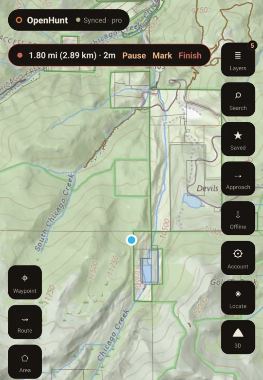
Records with the screen off and survives a crash. Lands in your hunt history on the phone — on every device with Pro.
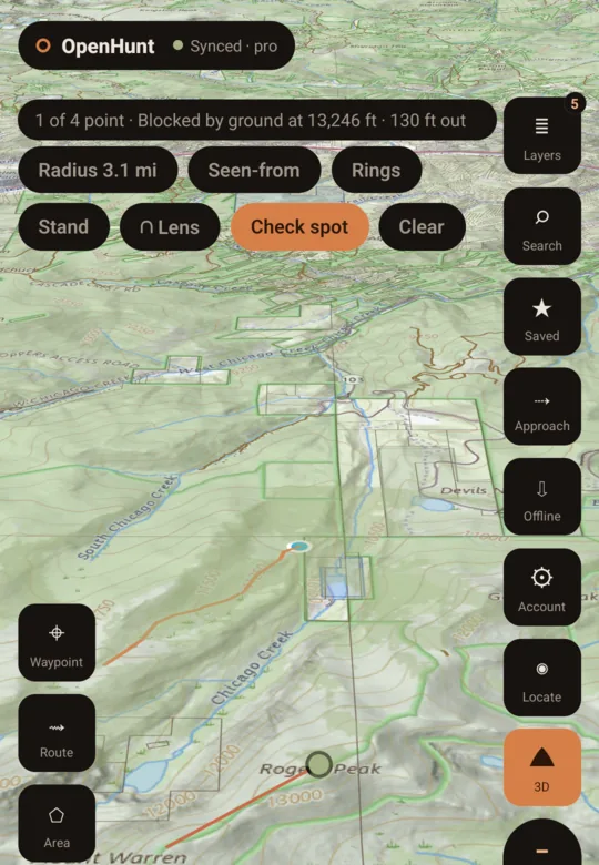
What is visible from any point, corrected for the curve of the earth, from a downloaded elevation pack.
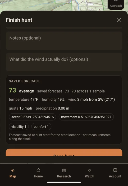
Start a hunt and the forecast at your start point is saved with it. Deadlines and next moves ride along.
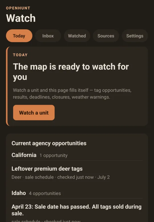
Agency and conditions alerts as notifications, not another tab.
Get the app

Scan to put it on your phone. Or read what the app does →
Free account required. Pro ($49/yr, bought here) unlocks pack downloads and push. See Free and Pro →
Wind, radar, smoke, snow and fire overlays too — with a timeline you can scrub — plus every free map layer from the web, tap-to-identify, and your marks synced through the same account.
Start with a place you know
The promise stays simple
Every layer, unit stat, draw table, planning engine, route tool, and conditions read on the web.
Open the free map →Sync, offline packs, saved season plans, reminders, Watch, sharing, party boards, and unlimited history.
See everything in Pro →Trust is a product feature
Agency records and government GIS, cited down to the dataset.
Browse the sources →Odds, landlocked ground, conditions, and terrain methods are published.
Read the methodology →Map views, routes, searches, and landowner names stay out of analytics.
Read the privacy promise →The entire platform is AGPL and self-hostable. Run OpenHunt on your own server →
sixteen states live · more opening as the data opens